
Allrode topographic map
Interactive map
Click on the map to display elevation.
About this map
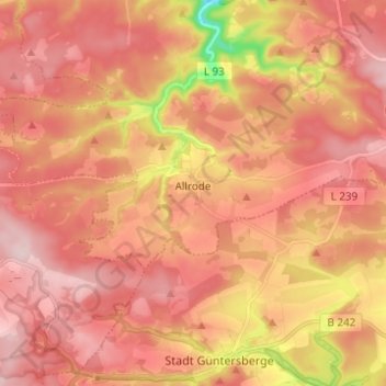
Name: Allrode topographic map, elevation, terrain.
Location: Allrode, Thale, Landkreis Harz, Saksen-Anhalt, Duitsland (51.65308 10.89596 51.69955 11.01847)
Average elevation: 1,516 ft
Minimum elevation: 948 ft
Maximum elevation: 1,795 ft