
Kelurahan Donan topographic map
Interactive map
Click on the map to display elevation.
About this map
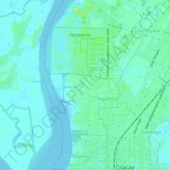
Name: Kelurahan Donan topographic map, elevation, terrain.
Location: Kelurahan Donan, Cilacap, Central Java, 53222, Indonesia (-7.72783 108.99192 -7.68937 109.02036)
Average elevation: 20 ft
Minimum elevation: -3 ft
Maximum elevation: 75 ft