
مراسن topographic map
Interactive map
Click on the map to display elevation.
About this map
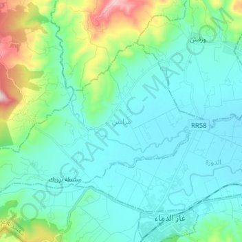
Name: مراسن topographic map, elevation, terrain.
Location: مراسن, معتمدية غار الدماء, Jendouba, Tunisia (36.45789 8.33053 36.52534 8.45914)
Average elevation: 935 ft
Minimum elevation: 571 ft
Maximum elevation: 2,536 ft