
Sõreste küla topographic map
Interactive map
Click on the map to display elevation.
About this map
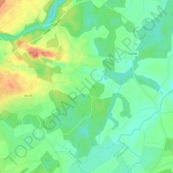
Name: Sõreste küla topographic map, elevation, terrain.
Location: Sõreste küla, Kanepi vald, Põlva maakond, 63121, Estonia (57.95104 26.88987 57.99998 26.95676)
Average elevation: 328 ft
Minimum elevation: 266 ft
Maximum elevation: 456 ft