
Medan Maimun topographic map
Interactive map
Click on the map to display elevation.
About this map
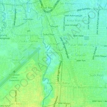
Name: Medan Maimun topographic map, elevation, terrain.
Location: Medan Maimun, City of Medan, North Sumatra, Indonesia (3.54545 98.67114 3.58543 98.69035)
Average elevation: 98 ft
Minimum elevation: 72 ft
Maximum elevation: 125 ft
Other topographic maps
Click on a map to view its topography, its elevation and its terrain.
Medan Polonia
Indonesia > North Sumatra > City of Medan
Medan Polonia, City of Medan, North Sumatra, Indonesia
Average elevation: 102 ft
Tegal Rejo
Indonesia > North Sumatra > City of Medan > Tegal Rejo
Tegal Rejo, City of Medan, North Sumatra, 20236, Indonesia
Average elevation: 62 ft