
Benson topographic map
Interactive map
Click on the map to display elevation.
About this map
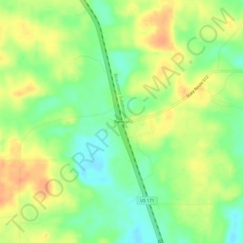
Name: Benson topographic map, elevation, terrain.
Location: Benson, De Soto Parish, Louisiana, United States (31.84628 -93.71379 31.88628 -93.67379)
Average elevation: 266 ft
Minimum elevation: 200 ft
Maximum elevation: 328 ft