
Mohabbewāla topographic map
Interactive map
Click on the map to display elevation.
About this map
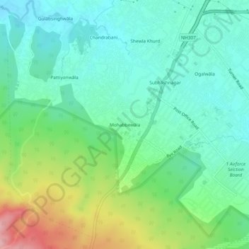
Name: Mohabbewāla topographic map, elevation, terrain.
Location: Mohabbewāla, Dehradun, Uttarakhand, 248001, India (30.25097 77.96265 30.29097 78.00265)
Average elevation: 2,054 ft
Minimum elevation: 1,903 ft
Maximum elevation: 2,425 ft