
Kawagoe topographic map
Interactive map
Click on the map to display elevation.
About this map
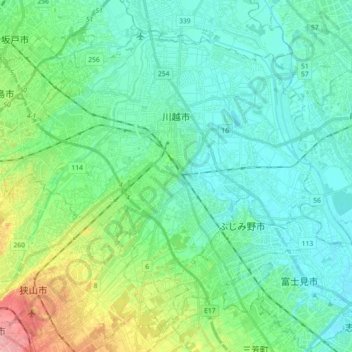
Name: Kawagoe topographic map, elevation, terrain.
Location: Kawagoe, Saitama Prefecture, Japan (35.83758 139.37745 35.96227 139.55838)
Average elevation: 92 ft
Minimum elevation: 13 ft
Maximum elevation: 361 ft