
Krarib topographic map
Interactive map
Click on the map to display elevation.
About this map
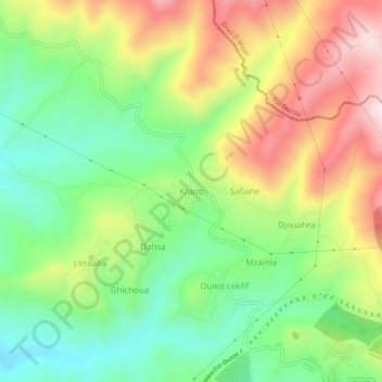
Name: Krarib topographic map, elevation, terrain.
Location: Krarib, Aomar, Daïra Kadiria, Bouira, Algérie (36.50481 3.73644 36.54481 3.77644)
Average elevation: 1,394 ft
Minimum elevation: 699 ft
Maximum elevation: 2,352 ft