
Chun On topographic map
Interactive map
Click on the map to display elevation.
About this map
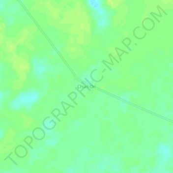
Name: Chun On topographic map, elevation, terrain.
Location: Chun On, Felipe Carrillo Puerto, Quintana Roo, México (20.01084 -87.89056 20.05084 -87.85056)
Average elevation: 46 ft
Minimum elevation: 20 ft
Maximum elevation: 62 ft