
Latur topographic map
Interactive map
Click on the map to display elevation.
About this map
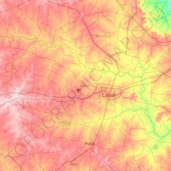
Name: Latur topographic map, elevation, terrain.
Location: Latur, Maharashtra, India (18.27793 76.20242 18.57629 76.74924)
Average elevation: 2,060 ft
Minimum elevation: 1,729 ft
Maximum elevation: 2,303 ft
Other topographic maps
Click on a map to view its topography, its elevation and its terrain.