
Schwafheim topographic map
Interactive map
Click on the map to display elevation.
About this map
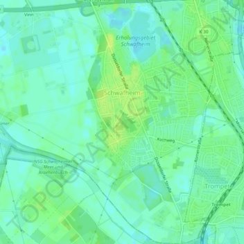
Name: Schwafheim topographic map, elevation, terrain.
Average elevation: 95 ft
Minimum elevation: 75 ft
Maximum elevation: 121 ft
Other topographic maps
Click on a map to view its topography, its elevation and its terrain.
Vennikel
Deutschland > Nordrhein-Westfalen > Moers > Kapellen
Vennikel, Kapellen, Moers, Kreis Wesel, Nordrhein-Westfalen, 47447, Deutschland
Average elevation: 105 ft
Vinn
Deutschland > Nordrhein-Westfalen > Moers > Vinn
Vinn, Moers, Kreis Wesel, Nordrhein-Westfalen, 47447, Deutschland
Average elevation: 95 ft