
Ain Kerma topographic map
Interactive map
Click on the map to display elevation.
About this map
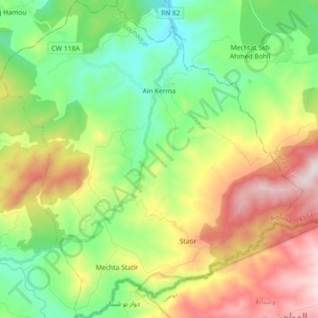
Name: Ain Kerma topographic map, elevation, terrain.
Location: Ain Kerma, Daïra Bouhadjar, El Tarf ⵟⵟⴰⵔⴻⴼ الطارف, Algerien (36.49849 8.11730 36.62793 8.27062)
Average elevation: 1,552 ft
Minimum elevation: 436 ft
Maximum elevation: 3,409 ft