
La Solana topographic map
Interactive map
Click on the map to display elevation.
About this map
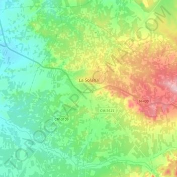
Name: La Solana topographic map, elevation, terrain.
Location: La Solana, La Mancha, Ciudad Real, Castiglia-La Mancia, Spagna (38.87042 -3.29620 38.99962 -3.11808)
Average elevation: 2,415 ft
Minimum elevation: 2,205 ft
Maximum elevation: 2,851 ft