
Arlit topographic map
Interactive map
Click on the map to display elevation.
About this map
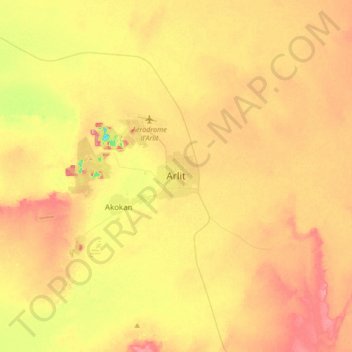
Name: Arlit topographic map, elevation, terrain.
Location: Arlit, Agadez Region, Niger (18.57908 7.23333 18.89908 7.55333)
Average elevation: 1,401 ft
Minimum elevation: 1,184 ft
Maximum elevation: 1,588 ft