
Fronteira topographic map
Interactive map
Click on the map to display elevation.
About this map
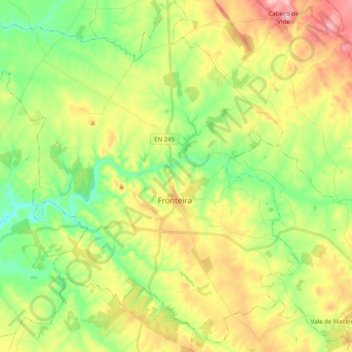
Name: Fronteira topographic map, elevation, terrain.
Location: Fronteira, Portalegre, Alto Alentejo, Alentejo, Portugal (38.99067 -7.77249 39.14147 -7.58277)
Average elevation: 709 ft
Minimum elevation: 446 ft
Maximum elevation: 1,086 ft