
Jorasi topographic map
Interactive map
Click on the map to display elevation.
About this map
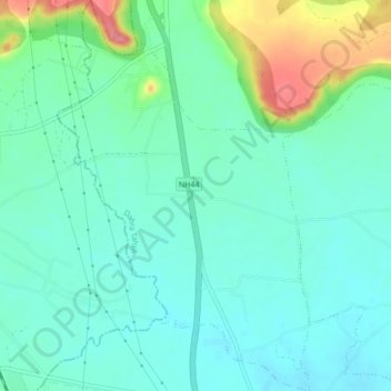
Name: Jorasi topographic map, elevation, terrain.
Location: Jorasi, Dabra Tahsil, Gwalior District, Madhya Pradesh, India (26.03696 78.23203 26.07553 78.25976)
Average elevation: 840 ft
Minimum elevation: 771 ft
Maximum elevation: 1,043 ft