
Bandaje Arbi topographic map
Interactive map
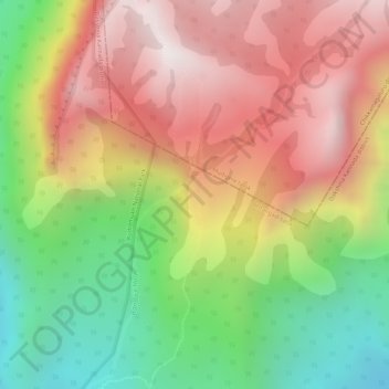
Click on the map to display elevation.
About this map
Name: Bandaje Arbi topographic map, elevation, terrain.
Average elevation: 3,025 ft
Minimum elevation: 1,348 ft
Maximum elevation: 4,472 ft
Other topographic maps
Click on a map to view its topography, its elevation and its terrain.
Iddya
India > Karnataka > Dakshina Kannada > Iddya
Iddya, Dakshina Kannada, Mangaluru taluk, Dakshina Kannada, Karnataka, 575014, India
Average elevation: 52 ft