
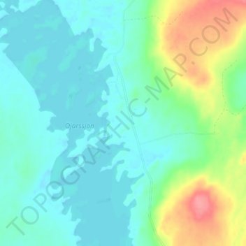
Öjarn topographic map
Interactive map
Click on the map to display elevation.
About this map
Name: Öjarn topographic map, elevation, terrain.
Location: Öjarn, Strömsund, Jämtland County, Region Norrland, Sweden (63.93721 15.05463 63.97721 15.09463)
Average elevation: 1,490 ft
Minimum elevation: 1,427 ft
Maximum elevation: 1,677 ft