
炼铁乡 topographic map
Interactive map
Click on the map to display elevation.
About this map
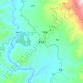
Name: 炼铁乡 topographic map, elevation, terrain.
Location: 炼铁乡, 洱源县, 大理白族自治州, 云南省, 中国 (25.94579 99.76578 26.02579 99.84578)
Average elevation: 6,814 ft
Minimum elevation: 5,722 ft
Maximum elevation: 11,093 ft
Other topographic maps
Click on a map to view its topography, its elevation and its terrain.