
Aragats topographic map
Interactive map
Click on the map to display elevation.
About this map
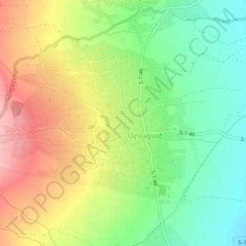
Name: Aragats topographic map, elevation, terrain.
Location: Aragats, Aragatsotn Province, Armenia (40.47978 44.33240 40.49844 44.36685)
Average elevation: 6,437 ft
Minimum elevation: 6,230 ft
Maximum elevation: 6,693 ft