
Pan y Guindas topographic map
Interactive map
Click on the map to display elevation.
About this map
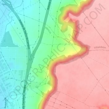
Name: Pan y Guindas topographic map, elevation, terrain.
Location: Pan y Guindas, Palencia, Castile and León, 34040, Spain (41.99663 -4.50257 42.01663 -4.48257)
Average elevation: 2,661 ft
Minimum elevation: 2,425 ft
Maximum elevation: 2,881 ft