
Hariharapura topographic map
Interactive map
Click on the map to display elevation.
About this map
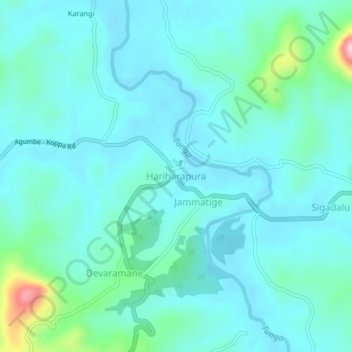
Name: Hariharapura topographic map, elevation, terrain.
Average elevation: 2,126 ft
Minimum elevation: 2,008 ft
Maximum elevation: 2,776 ft
Other topographic maps
Click on a map to view its topography, its elevation and its terrain.
Koppa
India > Karnataka > Koppa taluk
Koppa, Koppa taluk, Chikkamagaluru District, Karnataka, 577126, India
Average elevation: 2,520 ft