
Fürnitz topographic map
Interactive map
Click on the map to display elevation.
About this map
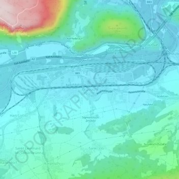
Name: Fürnitz topographic map, elevation, terrain.
Average elevation: 1,877 ft
Minimum elevation: 1,608 ft
Maximum elevation: 3,232 ft
Other topographic maps
Click on a map to view its topography, its elevation and its terrain.
Neufeld
Österreich > Kärnten > Bezirk Villach-Land > Finkenstein am Faaker See > Techanting
Neufeld, Techanting, Finkenstein am Faaker See, Bezirk Villach-Land, Kärnten, 9584, Österreich
Average elevation: 1,900 ft