
Hackett topographic map
Interactive map
Click on the map to display elevation.
About this map
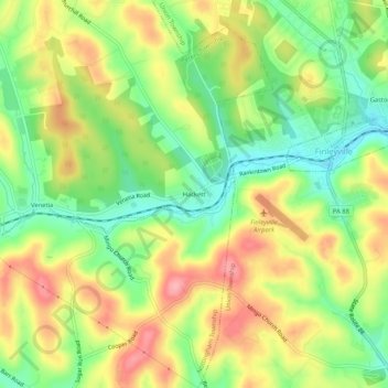
Name: Hackett topographic map, elevation, terrain.
Location: Hackett, Washington County, Pennsylvania, 15332, USA (40.22785 -80.04172 40.26785 -80.00172)
Average elevation: 1,106 ft
Minimum elevation: 925 ft
Maximum elevation: 1,302 ft