
Traphill topographic map
Interactive map
Click on the map to display elevation.
About this map
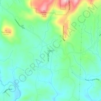
Name: Traphill topographic map, elevation, terrain.
Location: Traphill, Wilkes County, North Carolina, 28685, USA (36.32652 -81.05258 36.36652 -81.01258)
Average elevation: 1,352 ft
Minimum elevation: 1,132 ft
Maximum elevation: 1,916 ft