
太平镇 topographic map
Interactive map
Click on the map to display elevation.
About this map
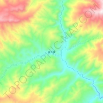
Name: 太平镇 topographic map, elevation, terrain.
Location: 太平镇, 会理市, 凉山彝族自治州, 四川省, 中国 (26.71112 102.42286 26.79112 102.50286)
Average elevation: 7,369 ft
Minimum elevation: 6,093 ft
Maximum elevation: 9,386 ft
Other topographic maps
Click on a map to view its topography, its elevation and its terrain.