
Salisbury Plain topographic map
Interactive map
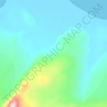
Click on the map to display elevation.
About this map
Name: Salisbury Plain topographic map, elevation, terrain.
Average elevation: 276 ft
Minimum elevation: 0 ft
Maximum elevation: 1,490 ft
Other topographic maps
Click on a map to view its topography, its elevation and its terrain.
South Georgia
South Georgia and South Sandwich Islands > South Georgia
South Georgia, South Georgia and South Sandwich Islands
Average elevation: 30 ft
King Edward Point
South Georgia and South Sandwich Islands > South Georgia > King Edward Point
King Edward Point, South Georgia, SIQQ 1ZZ, South Georgia and South Sandwich Islands
Average elevation: 358 ft