
Mission topographic map
Interactive map
Click on the map to display elevation.
About this map
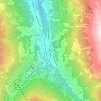
Name: Mission topographic map, elevation, terrain.
Location: Mission, Anniviers, Siders, Wallis, 3961, Schweiz (46.16998 7.57250 46.20998 7.61250)
Average elevation: 5,594 ft
Minimum elevation: 3,691 ft
Maximum elevation: 8,409 ft
Other topographic maps
Click on a map to view its topography, its elevation and its terrain.