
万江街道 topographic map
Interactive map
Click on the map to display elevation.
About this map
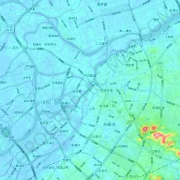
Name: 万江街道 topographic map, elevation, terrain.
Location: 万江街道, 牌楼基村, 东莞市, 广东省, 中国 (22.98679 113.64779 23.09493 113.74261)
Average elevation: 39 ft
Minimum elevation: -75 ft
Maximum elevation: 512 ft