
Paradela topographic map
Interactive map
Click on the map to display elevation.
About this map
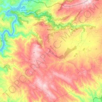
Name: Paradela topographic map, elevation, terrain.
Location: Paradela, Sarria, Lugo, Galicia, 27611, España (42.66845 -7.65749 42.80356 -7.50701)
Average elevation: 1,998 ft
Minimum elevation: 1,063 ft
Maximum elevation: 2,766 ft