
Bhawānipur topographic map
Interactive map
Click on the map to display elevation.
About this map
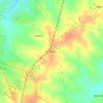
Name: Bhawānipur topographic map, elevation, terrain.
Location: Bhawānipur, Chas, Bokaro District, Jharkhand, 827013, India (23.61926 86.17588 23.65926 86.21588)
Average elevation: 702 ft
Minimum elevation: 630 ft
Maximum elevation: 755 ft