
12-14 topographic map
Interactive map
Click on the map to display elevation.
About this map
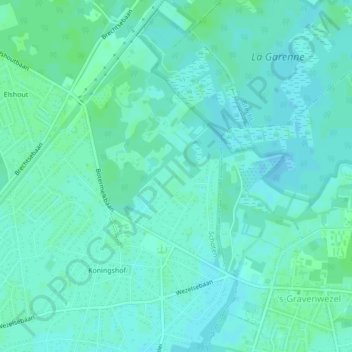
Name: 12-14 topographic map, elevation, terrain.
Location: 12-14, Acaciadreef, Schoten, Antwerpen, Vlaanderen, 2900, België (51.27172 4.53905 51.27204 4.53949)
Average elevation: 33 ft
Minimum elevation: 23 ft
Maximum elevation: 43 ft
Other topographic maps
Click on a map to view its topography, its elevation and its terrain.
Lek
België > Vlaanderen > Schoten > Lek
Lek, Schoten, Antwerpen, Vlaanderen, 2900, België
Average elevation: 23 ft