
Lamas de Olo topographic map
Interactive map
Click on the map to display elevation.
About this map
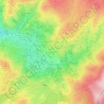
Name: Lamas de Olo topographic map, elevation, terrain.
Location: Lamas de Olo, Vila Real, 4880-122, Portugal (41.35182 -7.81558 41.39182 -7.77558)
Average elevation: 3,556 ft
Minimum elevation: 2,949 ft
Maximum elevation: 4,173 ft
Other topographic maps
Click on a map to view its topography, its elevation and its terrain.