
Ilabaya topographic map
Interactive map
Click on the map to display elevation.
About this map
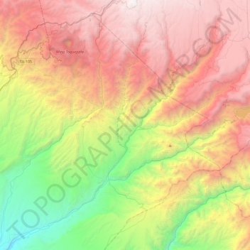
Name: Ilabaya topographic map, elevation, terrain.
Location: Ilabaya, Provincia de Jorge Basadre, Tacna, Perú (-17.57329 -70.78767 -17.19411 -70.34393)
Average elevation: 8,166 ft
Minimum elevation: 2,142 ft
Maximum elevation: 14,803 ft