
浆源 topographic map
Interactive map
Click on the map to display elevation.
About this map
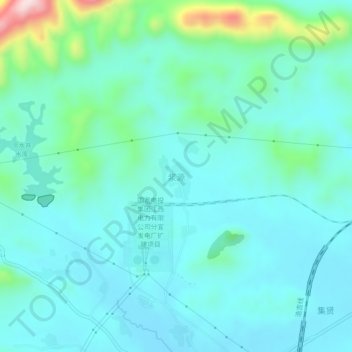
Name: 浆源 topographic map, elevation, terrain.
Location: 浆源, 双林镇, 分宜县, 新余市, 江西省, 中国 (27.94602 114.73370 27.98602 114.77370)
Average elevation: 486 ft
Minimum elevation: 279 ft
Maximum elevation: 1,463 ft