
Millstone Township topographic map
Interactive map
Click on the map to display elevation.
About this map
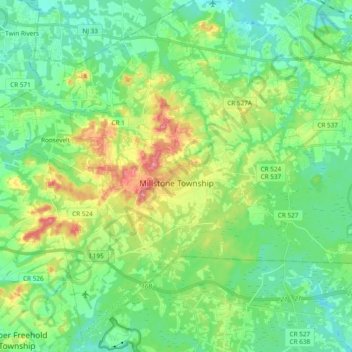
Name: Millstone Township topographic map, elevation, terrain.
Average elevation: 161 ft
Minimum elevation: 79 ft
Maximum elevation: 341 ft
Other topographic maps
Click on a map to view its topography, its elevation and its terrain.
Perrineville
United States of America > New Jersey > Millstone Township > Perrineville
Perrineville, Millstone Township, Monmouth County, New Jersey, 08535, United States of America
Average elevation: 203 ft