
Mühlhausen topographic map
Interactive map
Click on the map to display elevation.
About this map
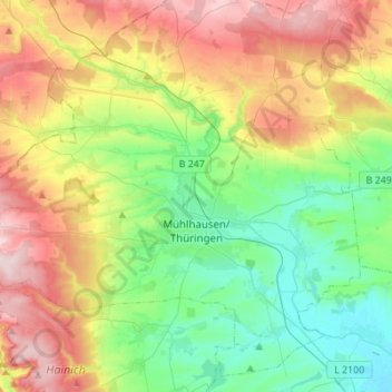
Name: Mühlhausen topographic map, elevation, terrain.
Location: Mühlhausen, Unstrut-Hainich-Kreis, Thuringe, Allemagne (51.14553 10.36172 51.30322 10.57395)
Average elevation: 909 ft
Minimum elevation: 571 ft
Maximum elevation: 1,549 ft