
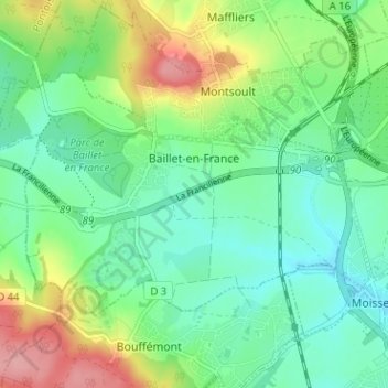
Baillet-en-France topographic map
Interactive map
Click on the map to display elevation.
About this map
Name: Baillet-en-France topographic map, elevation, terrain.
Average elevation: 400 ft
Minimum elevation: 282 ft
Maximum elevation: 650 ft
Other topographic maps
Click on a map to view its topography, its elevation and its terrain.
Omerville
France > Ile-de-France > Val-d'Oise > Omerville
Omerville, Pontoise, Val-d'Oise, Ile-de-France, Metropolitan France, 95420, France
Average elevation: 361 ft