
双溪口 topographic map
Interactive map
Click on the map to display elevation.
About this map
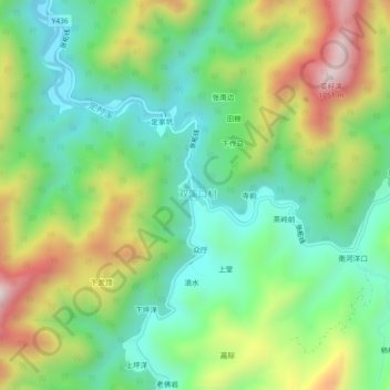
Name: 双溪口 topographic map, elevation, terrain.
Location: 双溪口, 张村乡, 江山市, 衢州市, 浙江省, 中国 (28.36447 118.66787 28.40447 118.70787)
Average elevation: 1,900 ft
Minimum elevation: 1,093 ft
Maximum elevation: 3,317 ft
Other topographic maps
Click on a map to view its topography, its elevation and its terrain.