
梅岭 topographic map
Interactive map
Click on the map to display elevation.
About this map
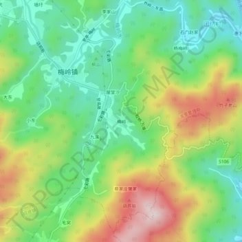
Name: 梅岭 topographic map, elevation, terrain.
Location: 梅岭, 湾里管理局, 新建区, 梅岭村, 新建区, 南昌市, 江西省, 中国 (28.76653 115.73975 28.80653 115.77975)
Average elevation: 801 ft
Minimum elevation: 243 ft
Maximum elevation: 1,713 ft