
Khutir topographic map
Interactive map
Click on the map to display elevation.
About this map
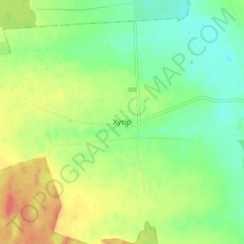
Name: Khutir topographic map, elevation, terrain.
Location: Khutir, Shepetivka Raion, Khmelnytskyi Oblast, 30411, Ukraine (50.30905 27.08362 50.34905 27.12362)
Average elevation: 787 ft
Minimum elevation: 719 ft
Maximum elevation: 876 ft