
Mont Fort topographic map
Interactive map
Click on the map to display elevation.
About this map
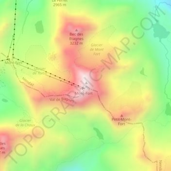
Name: Mont Fort topographic map, elevation, terrain.
Location: Mont Fort, Nendaz, Gundis, Wallis, 1997, Schweiz (46.08091 7.31862 46.08101 7.31872)
Average elevation: 9,488 ft
Minimum elevation: 8,159 ft
Maximum elevation: 10,889 ft