
西遼河 topographic map
Interactive map
Click on the map to display elevation.
About this map
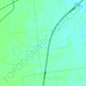
Name: 西遼河 topographic map, elevation, terrain.
Location: 西遼河, 木里图镇, 科尔沁区, 通辽市, 内蒙古自治区, 中国 (43.47866 122.12705 43.50387 122.19006)
Average elevation: 617 ft
Minimum elevation: 604 ft
Maximum elevation: 630 ft