
Ouzera topographic map
Interactive map
Click on the map to display elevation.
About this map
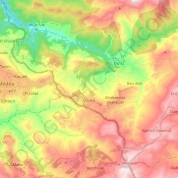
Name: Ouzera topographic map, elevation, terrain.
Location: Ouzera, Daïra Ouzera, Médéa, Algérie (36.20303 2.79185 36.31942 2.96189)
Average elevation: 2,831 ft
Minimum elevation: 1,299 ft
Maximum elevation: 4,318 ft