
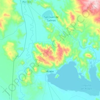
Arapa topographic map
Interactive map
Click on the map to display elevation.
About this map
Name: Arapa topographic map, elevation, terrain.
Location: Arapa, Azángaro, Puno, Peru (-15.21959 -70.20330 -14.93950 -69.95822)
Average elevation: 13,025 ft
Minimum elevation: 12,484 ft
Maximum elevation: 15,758 ft