
Parque de Los Pinos topographic map
Interactive map
Click on the map to display elevation.
About this map
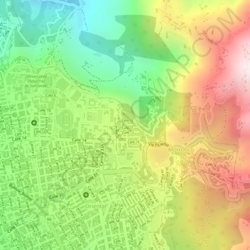
Name: Parque de Los Pinos topographic map, elevation, terrain.
Location: Parque de Los Pinos, Bucaramanga, Santander, Colombia (7.13584 -73.11029 7.13631 -73.11004)
Average elevation: 3,419 ft
Minimum elevation: 2,290 ft
Maximum elevation: 4,619 ft
Other topographic maps
Click on a map to view its topography, its elevation and its terrain.
Bucaramanga
Colombia > Santander > Bucaramanga
Bucaramanga, Metropolitana, Santander, Colombia
Average elevation: 3,924 ft