
Sali topographic map
Interactive map
Click on the map to display elevation.
About this map
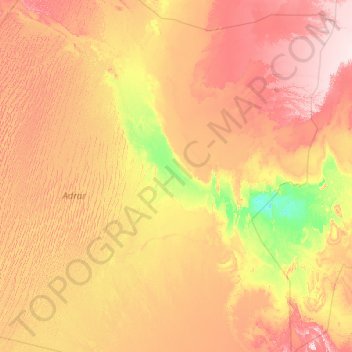
Name: Sali topographic map, elevation, terrain.
Location: Sali, Daïra de Reggane, Adrar, 1009, Algérie (26.40476 -3.98610 27.06526 0.51713)
Average elevation: 978 ft
Minimum elevation: 394 ft
Maximum elevation: 2,224 ft