
Nagasi topographic map
Interactive map
Click on the map to display elevation.
About this map
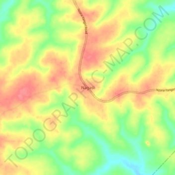
Name: Nagasi topographic map, elevation, terrain.
Location: Nagasi, Western Equatoria, South Sudan (4.88283 27.99312 4.96283 28.07312)
Average elevation: 2,113 ft
Minimum elevation: 1,998 ft
Maximum elevation: 2,215 ft