Mary Jane Creek topographic map
Interactive map
Click on the map to display elevation.
About this map
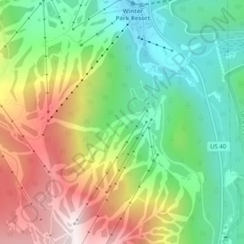
Name: Mary Jane Creek topographic map, elevation, terrain.
Average elevation: 9,911 ft
Minimum elevation: 9,088 ft
Maximum elevation: 11,129 ft

Click on the map to display elevation.
Name: Mary Jane Creek topographic map, elevation, terrain.
Average elevation: 9,911 ft
Minimum elevation: 9,088 ft
Maximum elevation: 11,129 ft